Unmanned aerial systems (UAS), which include drones, are used for a wide number industries, including environmental monitoring and engineering project installation and inspection. We have been using drones for the past several years to study trends in phytoplankton in many waterbodies over time. Data generated from these projects have highlighted strong seasonal dominance of cyanobacteria during the warm summer months. We are finding strong correlations between meaurements of algal pigments including chlorophyll (all phytoplankton) and phycocyanin (phycocyanin) with the normalized difference vegetation index (NDVI). For a client, this means that in a few hours we can have robust data to help us understand how water quality varies over space and time that could be used to guide targeted treatments to control algal blooms.
For this work, we use both fixed wing (AgEagle eBee X) and multi-rotor (Mavic 3 Classic) drones to get beautiful photos and videos of diverse landscapes. Contact us today to learn more about how we can use our drones to help you survey and monitor landscapes, inspect infrastructure, or document important events. We currently work throughout the southeastern US.
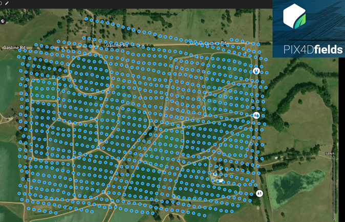
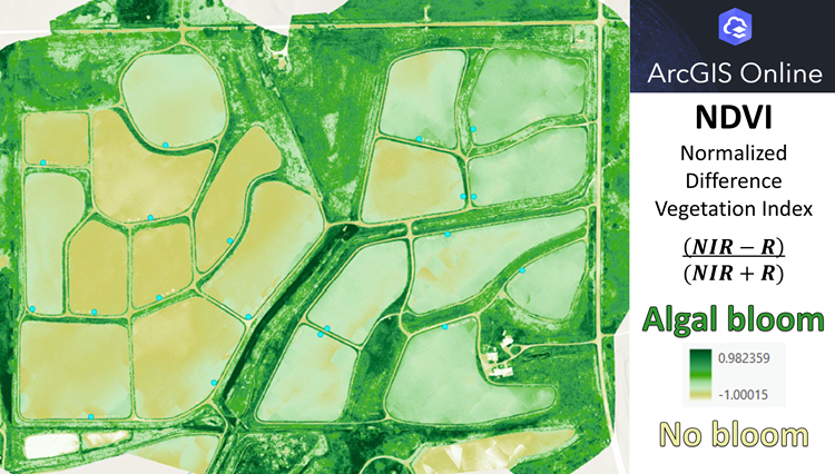
Here is an example of how we create a mission in eMotion for our fixed wing drone and then use Pix4DFields to create a multispec orthomosaic file that we load into ArcGIS to estimate algal abundance as NDVI.
Some of our drone imagery has recently been used in peer-reviewed publications.
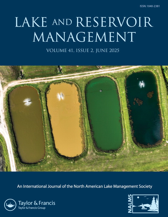
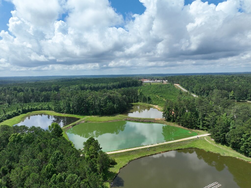
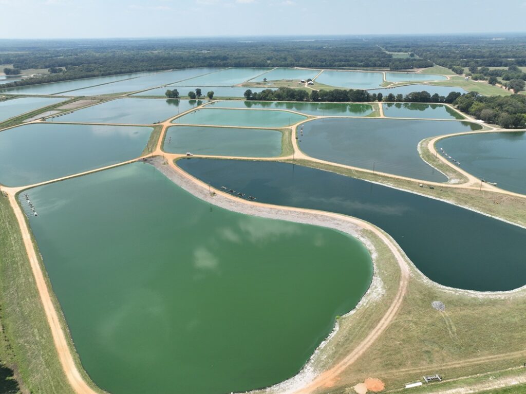
This is a photo Alan Wilson took at the EW Shell Fisheries Research Center that highlights the large variation in water color based on phytoplankton communities. The first pond had a mixture of phytoplankton The second pond had a lot of inorganic turbidity (i.e., sediment), The third pond had significant cyanobacteria. The fourth pond was actually clear with a benthic mat of the cyanobacterium, Lyngbya. This a link to the paper associated with this photo.
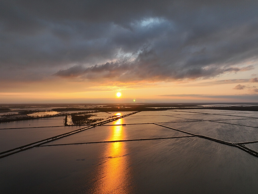
This is a photo Alan Wilson took early in the morning at a rice farm in Arkansas. Ben Runkle collaborates with us to understand gas release in the rice fields. Here is a link to his article that used this image.
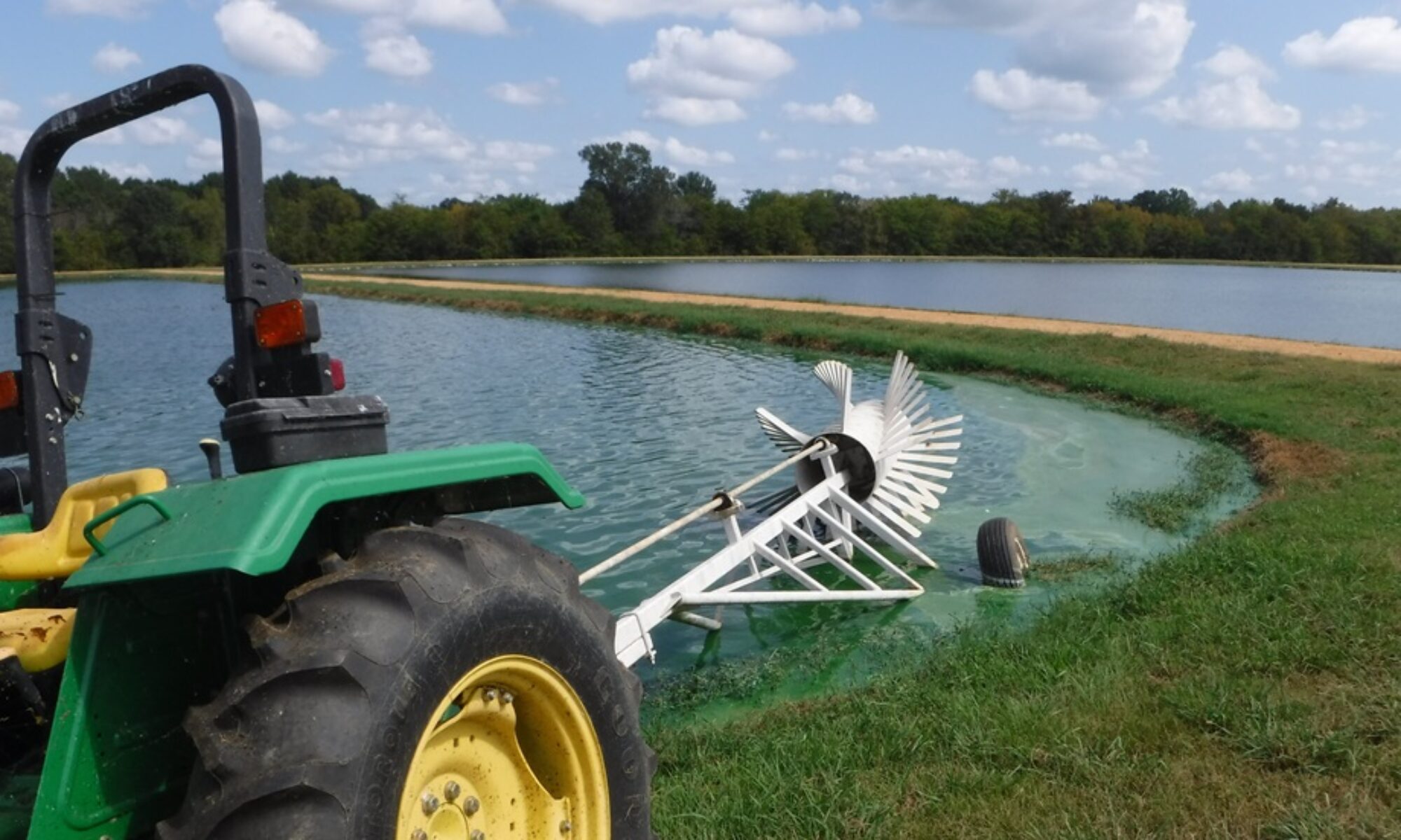
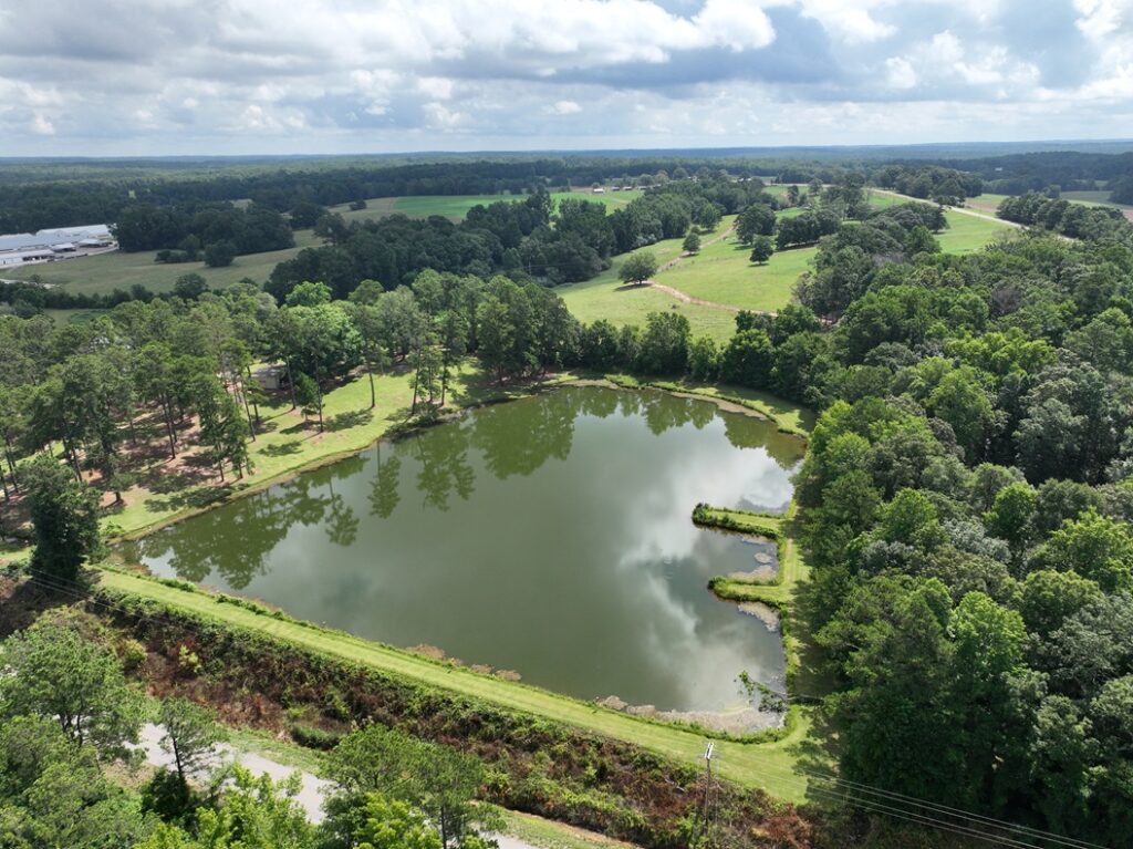
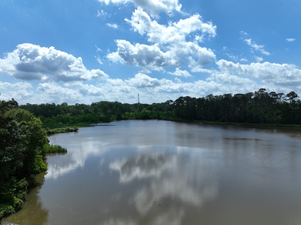
These are some of our study sites at Auburn University EW Shell Fisheries Research Center and at a catfish farm in west Alabama.
We have published studies using drone imagery to estimate algal (including cyanobacterial) abundance, which are available below.
- Fernandez-Figueroa, E. G., A. E. Wilson, and S. R. Rogers. 2022. Commercially available unoccupied aerial systems for monitoring harmful algal blooms: a comparative study. Limnology and Oceanography: Methods 20:146-158.
- Fernandez-Figueroa, E. G., A. P. Belfiore, and A. E. Wilson. 2021. Drones for monitoring “blue-greens” in catfish aquaculture ponds. Fish Farming News 2021(1):16-17.